Content Disclaimer: This article contains speculative theories presented for entertainment. Readers are encouraged to form their own conclusions.
For thousands of years, humanity stared at maps that ended in mystery. The southern edge of the world was unknown. Unmapped. Forbidden by ice and distance.
But some people claimed to know it anyway.
In 100 AD, the Greek scholar Claudius Ptolemy proposed something extraordinary. He argued that a massive landmass must exist in the southern hemisphere to balance the weight of the continents in the north. He called it Terra Australis Incognita, the Unknown Southern Land.
He'd never seen it. Nobody had. But Ptolemy relied on logic, geometry, and the work of earlier philosophers like Aristotle, who believed the Earth was round and needed symmetry to stay stable in the void of space.
For over a thousand years, this idea stuck around. Medieval cartographers drew maps that included vast southern continents, not based on exploration, but on belief. The idea became doctrine. The world must have a southern counterweight.
Then, in 1513, something strange happened.
An Ottoman admiral named Piri Reis created a map. It showed the Atlantic coastlines of Africa and the Americas with remarkable accuracy. But at the bottom of the map, there was something else. A landmass. A coastline. Details that shouldn't exist.
Because according to official history, Antarctica wasn't discovered until 1820.
Piri Reis claimed his map came from older sources. Charts seized from captured Spanish and Portuguese ships. Ancient maps passed down from earlier civilizations. He never claimed to have visited the southern continent himself. Yet there it was. Drawn with features that matched the subglacial topography of Antarctica, a landscape buried under miles of ice for thousands of years.
How could a 16th-century admiral map a coastline that had been frozen since before recorded history?
In 1531, another map appeared. This one by French cartographer Orontius Finaeus. It showed a southern continent in stunning detail. Rivers. Mountains. Coastal outlines. The shape bore an eerie resemblance to modern satellite images of Antarctica beneath the ice.
Finaeus, like Piri Reis, claimed to have based his work on ancient sources. Maps from Ptolemy. Notes from explorers like Amerigo Vespucci. But none of those sources should have contained knowledge of a continent that wouldn't be officially discovered for three more centuries.
Were these maps remnants of a forgotten age? A time when Antarctica wasn't a frozen wasteland, but a thriving land, charted by civilizations now lost to history?
Or were they simply educated guesses, shaped by the myth of Terra Australis, that just happened to resemble the truth?
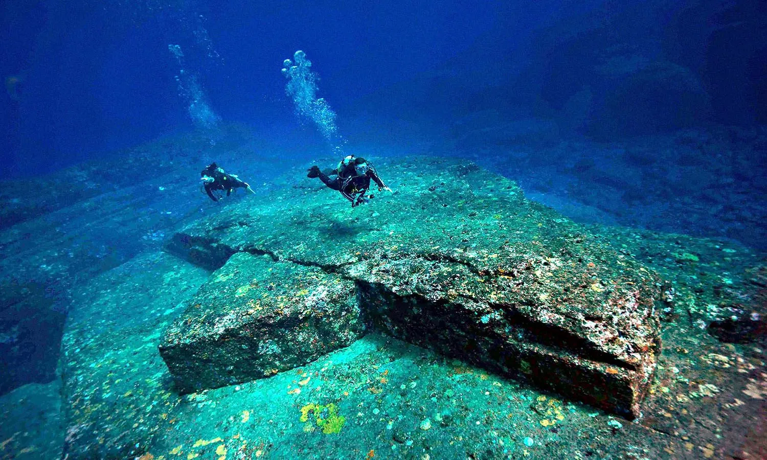
The mystery deepened in 1820, when a Russian expedition finally confirmed the southern continent existed. It was real. Massive. Covered in ice miles thick. A place so hostile that early explorers died trying to map its edges.
But those maps from centuries before suggested something different. A land once green. Once habitable. Once known.
If Piri Reis and Finaeus were drawing from older sources, then who created those sources? What civilization had the knowledge and technology to map Antarctica before the ice?
Some believe the answer lies in Plato's Atlantis. A lost civilization, advanced beyond its time, destroyed in a cataclysm and buried beneath the ice. Others point to ancient astronauts, extraterrestrial visitors who charted the planet long before humans developed writing.
But the maps offer no explanation. Only questions.
And those questions wouldn't be answered by explorers with wooden ships and frostbitten hands. They would be answered by nations with advanced technology, military resources, and secrets to protect.
The age of exploration was ending. The age of controlled access was beginning.
And the frozen continent at the bottom of the world was about to become the most restricted, most monitored, and most mysterious place on Earth.
Related Articles